
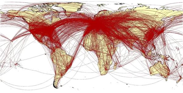
Since our earliest days, maps have been a useful tool in communication. Visual representation is particularly helpful in illustrating spatial information and, as such, real estate professionals utilize maps and mapping as an integral part of their work. As with all data, maps can be manipulated to tell or support a certain story. Although people tend to accept maps as definitive depictions, it’s not unusual for facts to be distorted and viewers to be misled by deceptive maps, also referred to as ‘deepfake geography.’
What It Means
Deepfake geography can tell a very convincing story with false data. While deceptive mapping practices are certainly not a new phenomenon, the advancements in Artificial Intelligence (AI) have made it easier to misconstrue visual information and ultimately lead people to incomplete, incorrect, or ill-informed conclusions. This has become such a widespread problem that is has its own designated website, which generates a new, fake city with every refresh. Take a look at some other examples of misleading maps:
Anthony Hearsay, Creative Imaging

This visualization of the 2019-2020 Australia bushfires made media rounds mislabeled as a satellite image, but it’s actually a visualization of a month of cumulative data superimposed on a 3D model. Without clear explanation, one might reasonably assume that this image provides a ‘live look’ at the current bushfires and misunderstand the nature of the data.
https://link.springer.com/article/10.1186/1476-072X-11-33
While these glaring examples received global media attention, this issue can hit close to home for commercial real estate teams on a smaller scale. Many publications have reported on fake business listings that populate Google Maps, which can create a false perception of the community and amenities in a given area. It is especially important to verify the accuracy of your maps during the site selection process to ensure that you are accurately representing your future neighborhood and surroundings.
Why It Matters
Subversive materials and paradigms in cartography often lead to false conclusions. This is problematic for businesses that provide geospatial solutions and analysis for clients. If the map’s unit of analysis doesn't accurately represent the behavior or demographics of the people within it, then your analysis is skewed. The human brain is wired to believe visual information more implicitly than other data types, and thus it’s critical to ensure that a map is offering an unbiased, holistic analysis of a population to avoid arriving at false conclusions.
Before undertaking a mapping study, confer with an expert. A Geospatial Informational Systems (GIS) professional can help you avoid common pitfalls, such as analyzing demographics and behaviors based on zip code or census block. While these factors are easily accessible, they are often arbitrary and do not offer meaningful insights into the demographics or behaviors being measured. A GIS expert can assist in clearly defining the goals of the exercise and identifying the best available resources. By learning to recognize common errors in spatial analysis and purposefully design a mapping study to suit your needs, you can uncover important, accurate, and actionable insights.
-
Blog
Opportunity Space Episode 3: Power Culture
In this conversation, Tod Lickerman and Craig Van Pelt are joined by Tom Bradbury, CEO of Broad-Gauge to discuss the importance of culture in the workplace and how to build an effective culture.
April 18, 2024 -
Blog
What Are Common Errors Uncovered During a Lease Expense Review?
Many organizations place a leap of faith in their landlords and internal audit teams, often assuming that their leases and year-end reconciliations will be mistake-free.
April 18, 2024 -
Blog
What is Human-Centric Hybrid?
Our Human-Centric Hybrid event on Tuesday, March 19th elicited much discussion and debate from the audience. Many of those who attended are actively invested in developing hybrid and people-focused solutions for their businesses and brought their experiences and challenges to the discussion.
April 16, 2024